 |
| Doug and Woody at the Benton McKaye and Duncan Ridge trail split. |
The Duncan Ridge Trail is a 35+ mile trail that starts near Long Creek at a point where the Appalachian Trail and the Benton McKaye Trail intersect. In fact, it shares the same trail with the Benton McKaye for several miles. It crosses the Toccoa River on a 260 foot suspension bridge and then also crosses state hwy. 60. From there, it goes East where it eventually splits off from the Benton McKaye and then goes along a ridge of several mountain tops and gaps including Coosa Bald. It then connects with the Coosa Backcountry Trail, crosses hwy. 180 at Wolfpen Gap, climbs Slaughter Mountain and finally dead ends into the Appalachian Trail again just South of Blood Mountain. Along the way, it climbs a combined 13,000+ feet with elevation changes between 1,850 ft. and 4,338 ft.
I've had this trail run on my checklist for some time and I was excited that we had finally decided to tackle it. The plan was that we would leave Atlanta early at 4:30am with the hope that we would be on the trail no later than 9:00am. Since this was going to be a point-to-point, we had to take two cars, park one at the base of Blood Mountain near Vogel State Park and then take the other car to Three Forks where the Duncan Ridge Trail started. We managed to make it to the Byron Reese parking lot at the base of Blood Mountain a little after 7:00am. It was raining hard at the time and I would be lying if I said that the rain wasn't concerning. After a quick exchange of gear, we all piled into my Forrester and made our way to Three Forks. To get there, we had to travel several miles of forest service roads, but we finally made it and we were on the trail at about 8:45am. It was raining like crazy.
 |
| Crossing the bridge over Toccoa River |
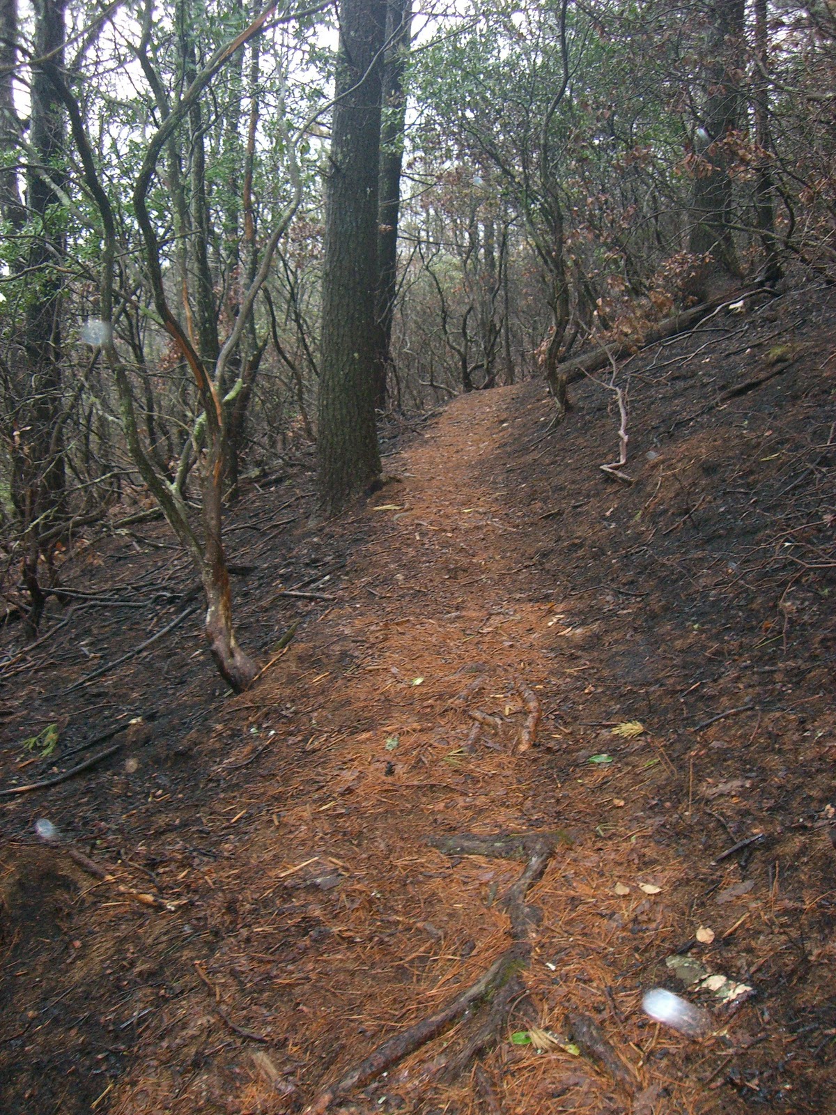
We crossed the bridge and started climbing again. It wasn't too bad, but it was steady. Enough to make us walk for much of the way. We hit a ridgeline for a short bit, then began coming down again. We were surprised to see a couple of cabins and trailers visible from the trail, but soon realized that it was due to being near highway 60 and Suches, GA. We came out on to the road with close to 12 miles on our legs. I don't recall exactly how long it took us to get to this point, but I do know that it would be the quickest 12 miles of the day. What was ahead was going to test our mettle for sure. Although from this point forward, we would enjoy drier conditions with the worst of the rain past us.
Immediately after crossing highway 60, the trail is straight up towards the top of Rhodes Mountain. Who ever blazed this trail did not believe in switch backs. Over and over for the next 17 miles, we would have to go straight up many climbs. The grade at times so bad, that we had to put our hand on our knee and push, just to take the next step. "Running" is loosely defined when talking about trail running the rest of the way. Because even though there was a downhill after every summit, it was the type of descending that made your quads scream with pain.
 |
| Crispy fried trail |
In this part of the run, we came across a strange knot in a tree that looked like a face. Woody had run much of this trail previously and had alerted us that it was a strange site. We nicknamed it "treeface". You can clearly see two eyes, a nose and a flat smile. Bizarre! We left "treeface" behind and we would soon hit the worst of the day's climbs. Doug, who was cranking along with Woody some paces ahead of me, all of a sudden hit the wall. He let me go in front of him and for the next several miles and climbs, I would be turning back to cheer him on. Meanwhile, I was hitting a wall of my own. At a point where the trail met up with forest road 39, we took a moment to gather ourselves and eat something. I had brought peanut butter and honey sandwiches on cinnamon raisin whole wheat bread. Delish! And just what I needed. What was coming would need every extra calorie I could put into my body.
 |
| Doug and me with "treeface" |

When we started the day, we gave ourselves eight hours to finish the entire run, but we realized this was not going to be the case. Sitting at Wolf Pen Gap, we were already eight hours in. We gathered our stuff, threw our hydration packs back on and started the climb to Slaughter Mountain. From Wolf Pen Gap, we would go about 1,000 feet again straight up with a couple of small switchbacks. Some where on this climb, Woody noticed that his Garmin died. The elevation chart you see on this page is of the run up until this point. Click here to view what the Garmin captured to this point.
 |
| Top of Blood Mountain |
We gladly began the descent but it was to be the hardest descent of the whole day. The descents earlier in the day were steep, but the trail wasn't technical in the sense that you didn't have to pick up your feet much. However, the descent off Blood Mountain was not only steep, but you had to step down from large rocks and our legs were pretty chewed up. Adding to this was the mud and overflowing creek water from the rains earlier that morning. Progress was slow which was killing us because we were ready to get it done. It was slowly becoming dark too.
I had brought a couple of headlamps, which I let Woody use one of them. Except he wasn't having trouble with the dark and soon got ahead of me and Doug. When we hit the side trail that led to the Byron Reese parking lot we were thrilled. This was it, the last mile of the day and finally some runable trail. The rain had started again and we did cross some creeks on the way down to the parking lot. One switchback, then another, and we were getting excited again. Finally, we heard Woody "woot!" and we knew were back at the car almost 36 miles later and countless feet of climbing and descending. Ten and a half hours of the
Duncan Ridge Trail left a mark on us.
Doug had brought a cooler with some of his home brewed lager. We toasted, drank and busily changed into drier clothes. Here's my Dailymile post from that evening:
"Epic. Is that too strong a word? Memorable. OK, that's more appropriate. Wow! What a day? Woody, Doug and I ran the Duncan Ridge trail in N. Georgia. "Run" is loosely defined term here. It was more like run/hike/crawl. Mother nature handed it to us with rain, wind and fog. The DR trail is a beast of a trail. We hit insane climbs (13,000+ ft.) and quad-busting downhills. It took us a lot longer than intended, but we got it done. Now we are on our way to a grande Mexican meal and a cold one."
These types of runs is why I started this blog. Thanks to my running mates, Woody and Doug, for another trail adventure to remember.
